Bere Regis |
|
|
Photographs © Alex Roth & Sarah Rowles
|
|
|
|
|
|
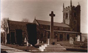
An old postcard showing the church of St John circa 1930 showing the war memorial erected after WW1 |
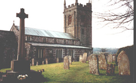
The church as it is today taken from the same place |
|
|
|
|
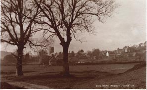
Another postcard with a view towards the village, circa 1930 |
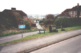
A view towards Woodbury Hill |
|
|
|
|
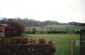
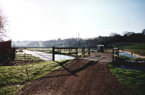
Looking towards Hollow Oak from Dodding Farm |
The hamlet of Shitterton the the west side of Bere Regis |
|
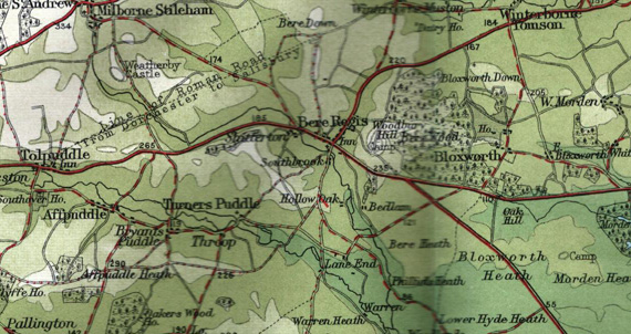
This extract from an old Bartholmew's map shows Bere Regis, with Shitterton to the west and Woodbury Hill to the east. Hollow Oak is south of the village. The A35 Dorchester to Poole road runs across the map and through the village. |
|
|
|
|
There are further historical pictures of Bere Regis at this web site. |
|