 |
Lytchett Matravers |
|
|
|
Lytchett Matravers |
|
|
|
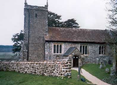
Lytchett Matravers is a parish and scattered village 6 miles south west from Wimborne and 6 miles north west from Poole. To the north is the parish of Sturminster Marshall, east is Corfe Mullen, to the south lies Lytchett Minster and west is Morden. The church of St Mary dates from 1505 and is said to be built on the site of an even older church. The nave underwent restoration in 1873. There is an impressive altar tomb and memorial brasses within the church. The registers date from 1656. |
|
|
|
|
The
Online Parish Clerk (OPC) for Lytchett Matravers is Lynne Ballard |
|
| Census | 1841
Census 1851 Census 1861 Census 1871 Census 1881 Census 1891 Census |
| Parish Registers | Baptisms 1808-1818 & 1900-1903 Marriages 1657 - 1754 & 1755-1837 Church registers date from 1656 and are being transcribed. If anyone can assist with transcriptions of complete years this would be appreciated. |
| Postal Directories | 1865, 1880, 1895 and 1935 Directory entries are on-site. |
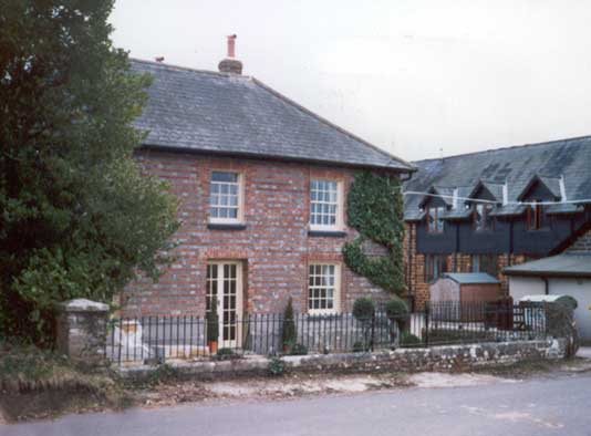
| Photographs | More Photographs
of the parish on site. Old Photographs of the Village courtesy of Shirley Percival |
| Other Records | Villagers who served in the Armed Services, 1939-45 Rectors of Lytchett Matravers by Shirley Percival Wills of John Bartlett 1804, Sarah Mills 1841, William Trenchard 1845 |
| Maps | The 1891 Ordnance Survey maps of the parish can be seen at the old-maps site, just enter 'Lytchett Matravers' under place search. |
|
|
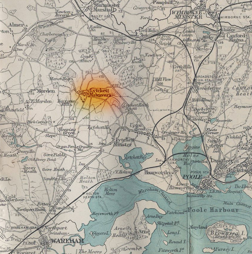
For modern
location maps visit:- For a 1920s map of the area click on the map to the left and wait for it to load. |
Visitors to Dorset OPC
Copyright (c) 2024 Dorset OPC Project